
Louisiana Weekly Climate Summary - April 15–21, 2026
By Jay Grymes
Louisiana State Climatologist
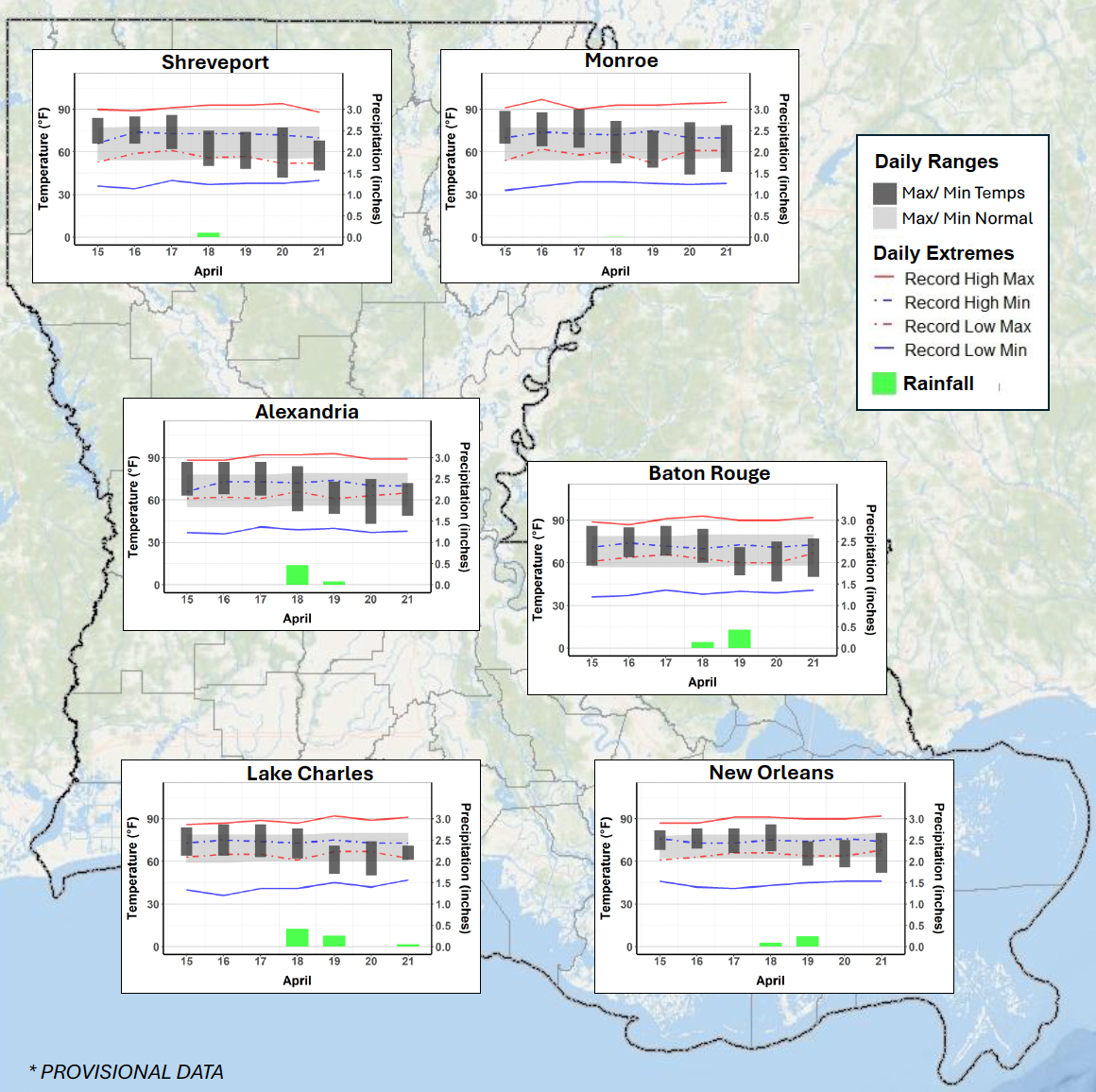
Louisiana experienced another dry week, with most areas receiving less than 0.50 inches of rainfall, mainly from a weak cold front on April 18. Northern parts of the state saw the largest rainfall deficits, worsening already dry conditions and increasing statewide drought intensity.
Temperatures started the week above normal, even reaching 90°F in Monroe, before turning cooler than normal after the front. This created a wide temperature swing, with lows dropping to 38°F, though overall temperatures still averaged slightly above normal statewide.
Drought conditions significantly worsened, with about 94% of Louisiana now in drought. Over half the state is in Extreme Drought (D3), especially in northern Louisiana, while more than 20% is in Severe Drought (D2). Many parishes reported very dry conditions, with burn bans and high fire danger in place across much of the state. The USDA has designated 25 parishes as natural disaster areas due to the drought.
There was no severe weather during the week—no watches, warnings, or tornado reports—and the cold front produced only limited rainfall, offering little drought relief.