
Winter Weather Round 2 Update
By Jay Grymes
State Climatologist
There are no major changes to the forecast.
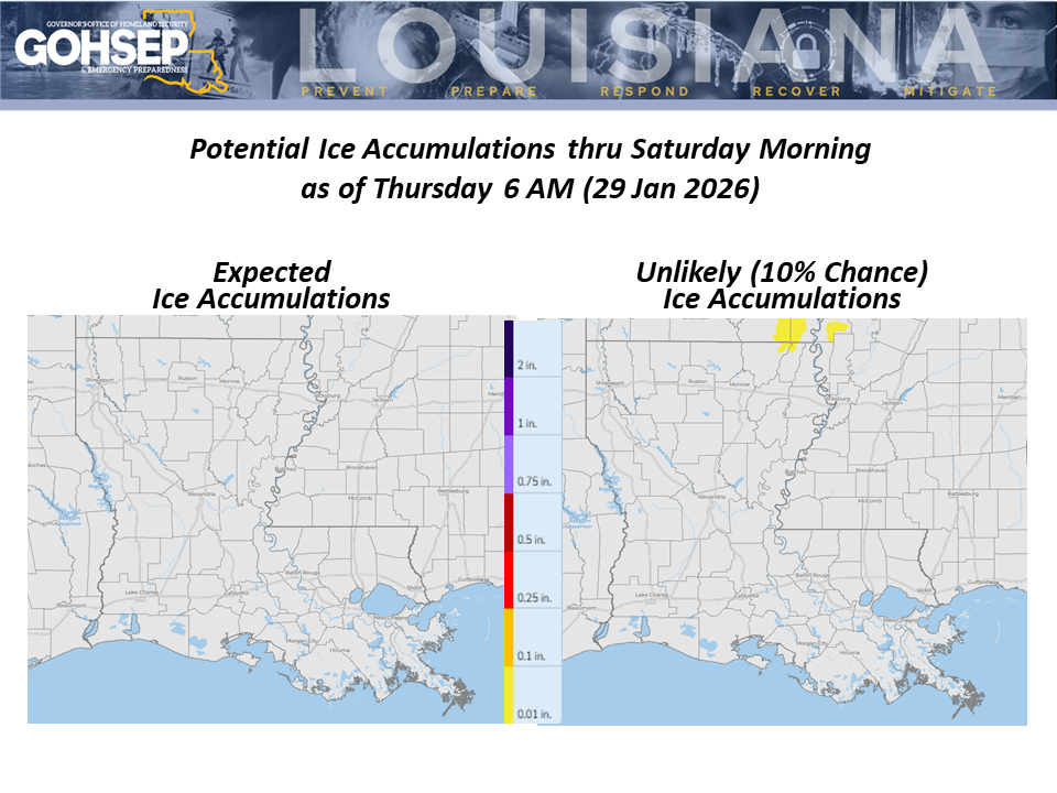
Snow and ice melt continues today with north Louisiana temperatures getting into the 50°s by this afternoon (Thursday, 29 Jan). This should just about finish any lingering ice on roadways except for heavily-shaded areas.
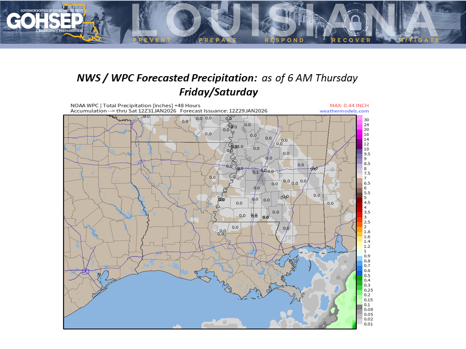
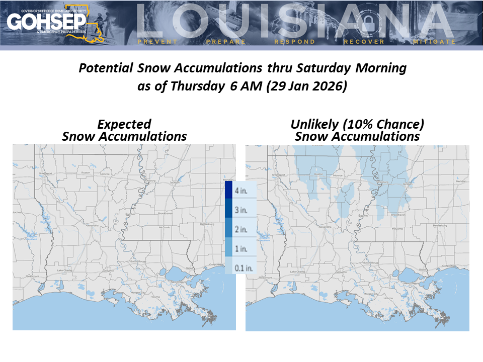
The one change to the outlook over the next 48 hours is a very low-end potential for flurries with little to no accumulations (trace to 0.1”) for a handful of northern parishes early Saturday morning (31 Jan). This will not add to current snow and ice issues.
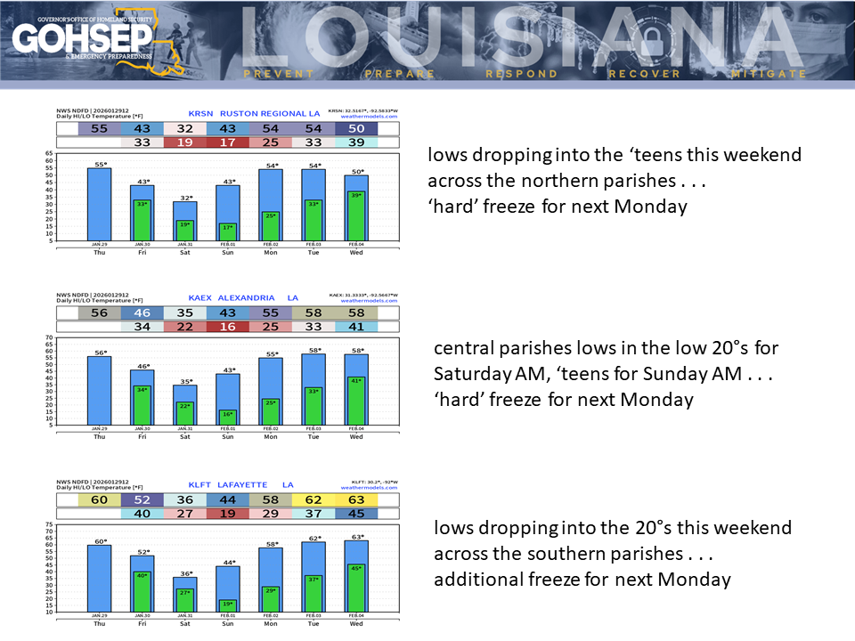
Much/most of northern Louisiana will get a light, brief freeze for Friday morning (30 Jan) with much chillier afternoon temperatures as the next Arctic air mass pushes its way across Louisiana. That will lead to another round of dangerously cold weather for the weekend.
Saturday morning (31 Jan) lows will be in the ‘teens across northern Louisiana. Minimum wind chills early Saturday morning will dip into the single digits across the northern third of the state and into the low ‘teens for much of CENLA. Highs on Saturday will struggle to get above freezing and may stay at/below 32° near and north of the I-20 corridor.
Sunday (1 Feb) morning looks to be even colder with ‘teens potentially reaching as far south as the I-10/12 corridor. Fortunately, however, temperatures begin a slow moderation by Sunday afternoon with highs in the 40°s expected statewide.
Plan for another morning freeze on Monday (Groundhog Day, 2 Feb).
The extended outlook for the rest of next week keeps daily temperatures below average with the weather continuing to trend cooler-than-normal right into Carnival weekend.
Courtesy/Thanks:
Local NWS offices serving Louisiana: SHV, JAN, LCH & LIX
NWS Weather Prediction Center
NWS Climate Prediction Center
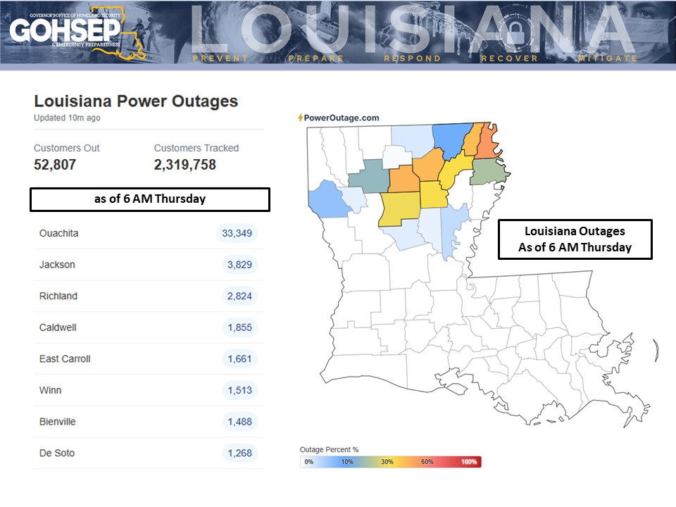
PowerOutage.com
WeatherModels.com
GOHSEP & LSU