Possible Tropical System Affecting Louisiana Thursday or Friday
By Jay Grymes
LSU AgCenter/GOHSEP
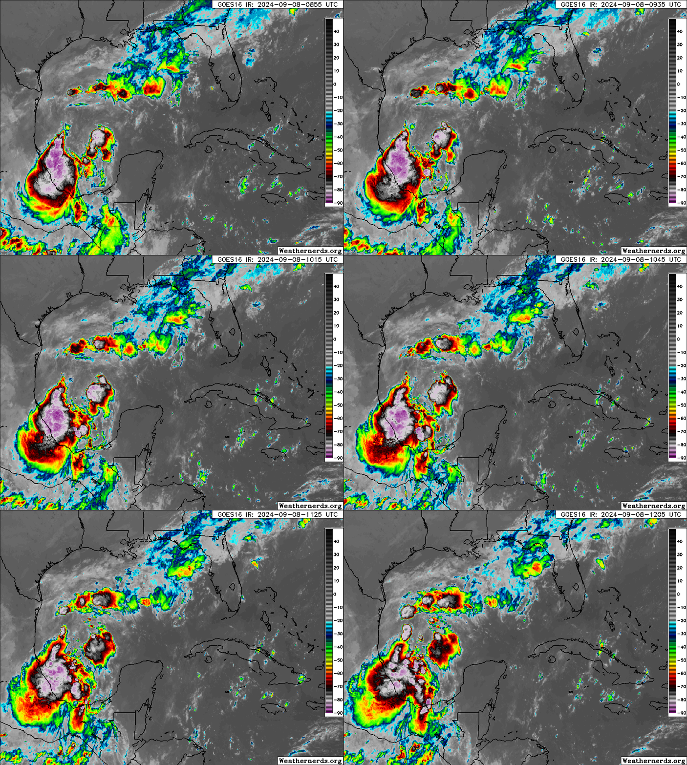
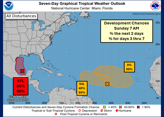
Invest 91L in the SW Gulf (Bay of Campeche) remains disorganized but conditions will be favorable for development as the disturbance slowly drifts north-to-NW over the next 2-3 days.
A landfall in Mexico or Texas is becoming less unlikely, with the majority of the model guidance keeping the slowly-organizing system over the western Gulf waters.
91L is likely to become Tropical Depression #6 (TD#6) soon and could become T.S. Francine in the next 2-3 days.
North-to-NW movement will be slow and the system may only be east, or even SE, of Brownsville by Wednesday morning. After that, TD#6/Francine will begin a turn to the north-to-NE and start to increase its forward speed.
That puts Louisiana in the crosshairs for a landfall ... most likely either (late) Thursday or early Friday depending on that rate of increase in forward speed after Wednesday.
At this stage, landfall at tropical-storm intensity is most likely ... but given how we've been seeing storms "over-achieve" with respect to NHC forecasts, planning for a "Category 1" would be prudent.


